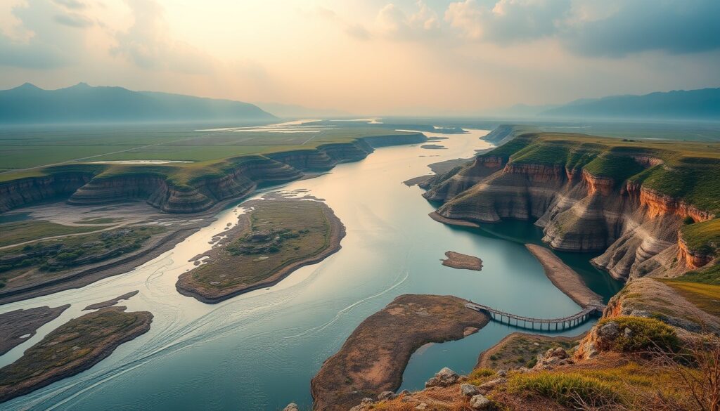
From Jefferson’s Docks to Your Kayak: Charting Charlottesville’s Historic Blue Highways
Charlottesville and Central Virginia are renowned for their rolling vineyards, historic estates, and the majestic Blue Ridge Mountains. Yet, often overlooked are the veins that truly brought life, commerce, and connection to this region for centuries: its waterways. The Rivanna and James Rivers, once bustling “blue highways” of early America, hold a treasure trove of history and an invitation for modern outdoor adventure. Drawing inspiration from definitive guides like The Blue Highway: The Definitive Navigator’s Guide to America’s Historic Coastal & Inland Waterways, we delve into how these local rivers shaped our past and beckon us to explore their currents today.
For students and residents of Charlottesville seeking to connect with the landscape and its profound heritage, the Rivanna and James offer more than just a scenic view. They provide a direct, paddle-powered link to the stories of our forebears, the challenges of early transportation, and the enduring beauty of our natural environment. Let’s cast off and navigate the watery paths that define our region.
The Rivanna: Jefferson’s Vision and a Legacy of Commerce
The Rivanna River, flowing through Albemarle County, was central to Thomas Jefferson’s vision for Monticello and the economic prosperity of his beloved region. Jefferson, an avid proponent of internal improvements, understood that efficient transportation was key to linking agricultural producers to distant markets. The Rivanna Navigation Company, chartered in 1763, was an ambitious attempt to make the river navigable for bateaux – shallow-drafted, flat-bottomed boats – allowing goods like tobacco, grain, and timber to be floated down to the James River and eventually to Richmond and the Atlantic.
“The Rivanna, once a torrent, now a navigable stream, bears the produce of our fields to market.” – Attributed to Thomas Jefferson’s vision.
This early infrastructure included dams, locks, and canals, remnants of which can still be glimpsed along the riverbanks today. While the navigation company eventually faced challenges from railroads and changing economic landscapes, its legacy profoundly shaped the development of towns like Milton and Columbia, and indeed, Charlottesville itself. Understanding this historical blueprint enriches every paddle stroke on its waters, connecting you directly to the industrious spirit of early Virginia.
Historical Blueprint Snapshot: Rivanna River Navigation Points (Circa 1800s vs. Today’s Access)
- Historical Hubs (1800s): Milton (upstream port), Columbia (junction with James River), various mill sites.
- Primary Cargo: Tobacco, wheat, flour, timber, pig iron.
- Modern Access Points (Today): Darden Towe Park, Crofton, Riverview Park, Milton, Palmyra.
- Recreational Use: Kayaking, canoeing, paddleboarding, fishing, wildlife observation.
Your Navigator’s Guide: Paddling the Blue Highways Today
Today, the Rivanna and sections of the James River offer spectacular opportunities for outdoor recreation, whether you’re a seasoned paddler or a curious beginner. Embracing these waterways means not just recreation, but also a deeper connection to the local ecosystem and history.
Actionable Advice for Local Paddling Adventures:
- Gear Up Safely: Always wear a Personal Flotation Device (PFD). For river paddling, a sit-on-top kayak or canoe is generally stable and easy to re-enter. Don’t forget water, snacks, sunscreen, and a dry bag for electronics. Local outfitters like the Rivanna River Company offer rentals and guided trips.
- Know Your Route: The Rivanna has varying sections. The stretch from Darden Towe Park to Riverview Park (approximately 4-5 miles) is popular and generally calm, suitable for beginners. Downstream sections towards Columbia offer more remote experiences and can include class I-II rapids, especially after heavy rains. Always check river levels before you go.
- Respect the River: Practice Leave No Trace principles. Pack out everything you pack in. Be mindful of private property along the banks. The Rivanna is a critical habitat; observe wildlife from a distance.
- Map Your History: Before your trip, download a historical map or read up on the specific section you plan to paddle. Identify potential historical markers, old bridge abutments, or canal remnants.
Paddling Difficulty Ratings for Popular Rivanna River Sections:
- Darden Towe to Riverview Park: Class I (Easy; suitable for beginners)
- Riverview Park to Crofton: Class I-II (Moderate; some small rapids, suitable for intermediates)
- Crofton to Palmyra/Columbia (Lower Rivanna): Class I-II+ (Moderate to challenging; longer stretches, potentially stronger currents, more remote)
Beyond the Paddle: Waterways as Ecological & Cultural Corridors
The rivers are not just pathways for boats; they are vibrant ecological corridors supporting a diverse array of flora and fauna. As you drift, keep an eye out for great blue herons, bald eagles, kingfishers, and a variety of turtles and fish. The riparian zones—the vegetated areas bordering the rivers—are crucial for water quality, erosion control, and wildlife habitat.
The agricultural history along these rivers is also significant. Early European settlers and enslaved peoples worked the fertile bottomlands, utilizing the river for irrigation and transport of crops. The USDA archives offer fascinating insights into historic land use and conservation efforts along America’s inland waterways, reflecting how vital these areas were for sustenance and economy.
Preserving these blue highways for future generations requires ongoing stewardship. Local organizations like the Rivanna Conservation Alliance actively work to protect and restore the Rivanna River watershed, ensuring its health and accessibility. Participating in cleanups or educational programs is another way to engage with and give back to these invaluable natural resources.
Whether you’re exploring the winding Rivanna, venturing further afield on the historic James, or simply enjoying the riverbanks, you’re stepping onto a living page of history and an active stage for nature. These waterways offer a unique lens through which to appreciate the rich tapestry of Charlottesville and Central Virginia.
Deepen Your Blue Highway Journey:
Inspired to navigate even further? For a comprehensive deep dive into America’s historic coastal and inland waterways, from detailed maps to historical narratives and expert navigational advice, explore the full hardcover edition of The Blue Highway: The Definitive Navigator’s Guide to America’s Historic Coastal & Inland Waterways. Expand your skills and knowledge with the companion masterclass, available exclusively on TodaysCourse, and become a true Blue Highway expert.
Deepen Your Mastery: The Complete Reference Suite
This research is derived from the definitive edition of The Blue Highway: The Definitive Navigator’s Guide to America’s Historic Coastal & Inland Waterways, published by Mestizo Media Group and available for $19.99 on the DC Life Gallery Store and major booksellers.
To access the accompanying 5-module video masterclass, student field worksheets, and soil chemistry blueprints, enroll in the companion course on TodaysCourse Academy.
Curated Literature & Dallas / Metro Downtown Calendar
The Architecture of Focus: Deep Work & Modern Mastery
By Founders Library Press
A structured framework for strategic clarity, productivity, and authentic execution.
Upcoming Downtown Happenings
Live acoustic sessions, gallery receptions, literary salons, and independent trade shows across Dallas / Metro.